Rice in Arkansas
October 29th, 2015
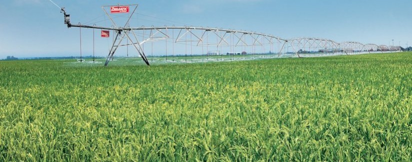
Driving south through Missouri, it was pouring rain, and then into Arkansas, it kept up, and all along Hwy. 67, the fields were flooded, water in the ditches too. But I noticed that there was irrigation, but just a pipe into a field, and there were berms around a field. Much harvesting was done, but there were also fields full of green, and given the temps here, that makes sense. But what were these things that looked like a lot of little corn plants, maybe a foot tall with pretty thick leaves? DOH! They grow rice here!

What’s the scoop? Kind of surprising! 48% of US grown rice is grown in Arkansas! Or 45% depending who you ask. I’d remembered that lots of it was grown here from delivering big bags of rice for D.A.N.C.e Warehouse, but about 1/2 of U.S. rice is pretty amazing for such a small geographic area.
Here’s the How-To for Rice:
Rice Crop Timeline for the Southern States of Arkansas, Louisiana and Mississippi
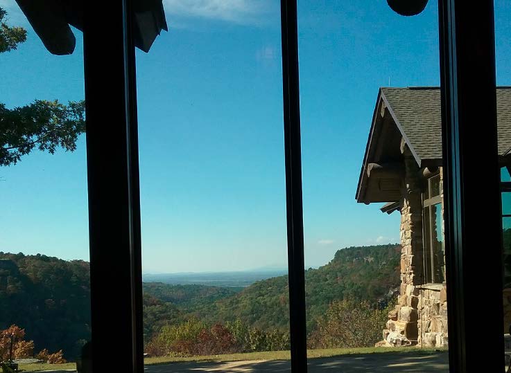
Heading to Mt. Nebo State Park today, it is beautiful. Here’s today’s view from the office, sunny warm day, don’t miss the Minnesota snow one bit!
Heading south, and feeling the hurricane presence!
October 28th, 2015

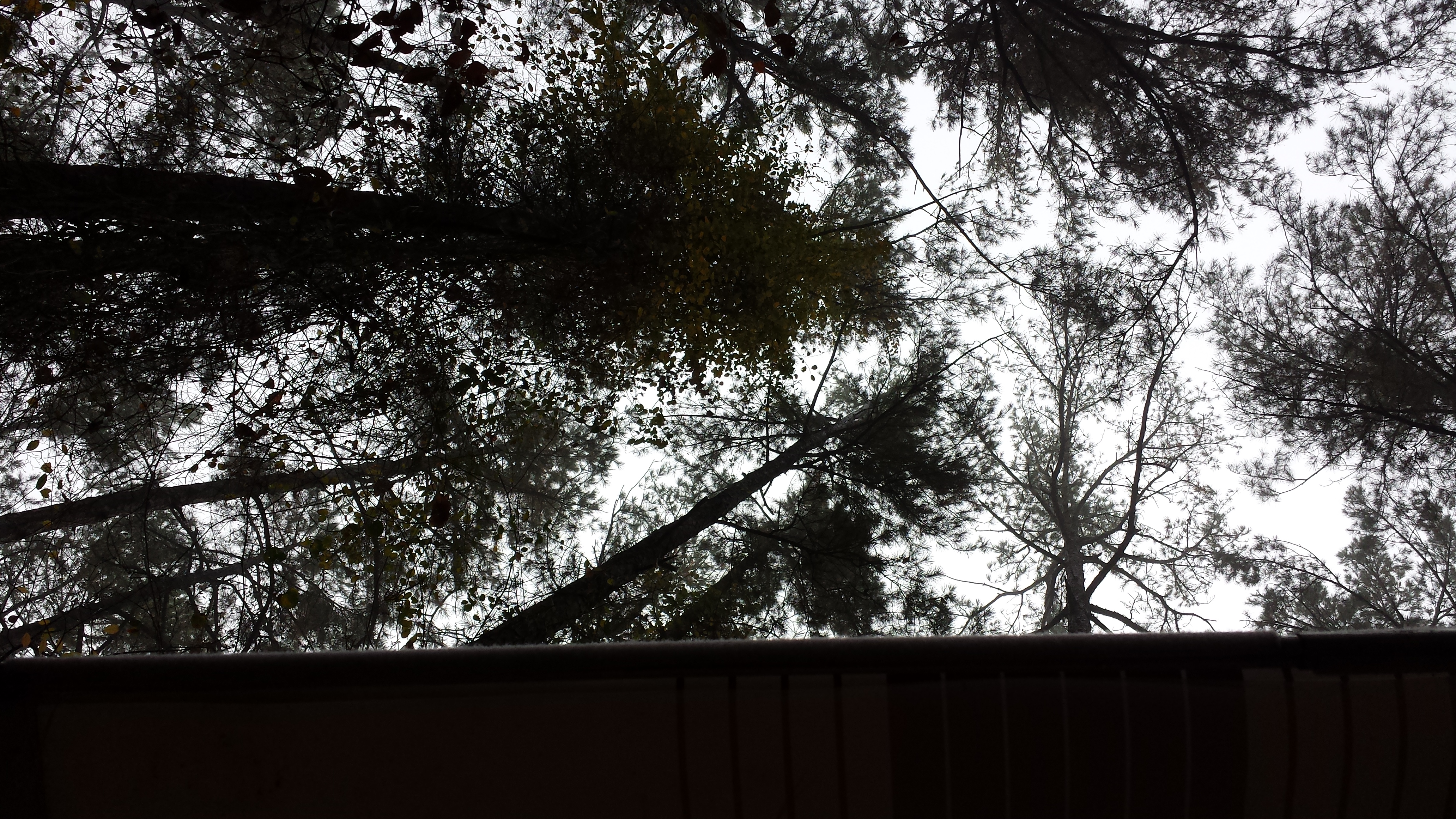
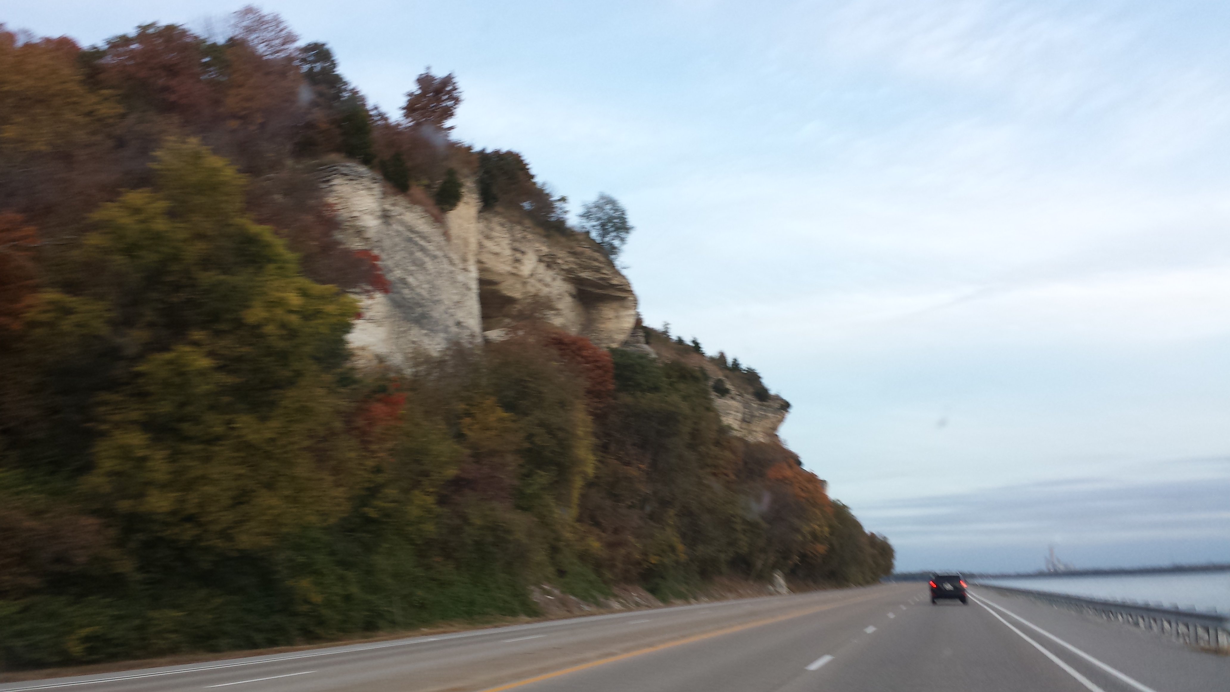
It was one of those days yesterday! But I felt it right away, BOOM! … and Alan had reinflated the spare, so we were good to go in 10 minutes! The rain though, I guess the hurricane remnants blew upward, and it rained and rained, water high in the ditches as we blasted past the rice paddies of Arkansas (harvest almost done), and poor Little Sadie freaking most of the day. But we made it to Petit Jean Park, and it is amazing, like a very hilly Itasca, complete with a CCC lodge, and intense views. Excellent campground! Towering pines over the camper awning:
And the obligatory Petit Jean State Park photo:
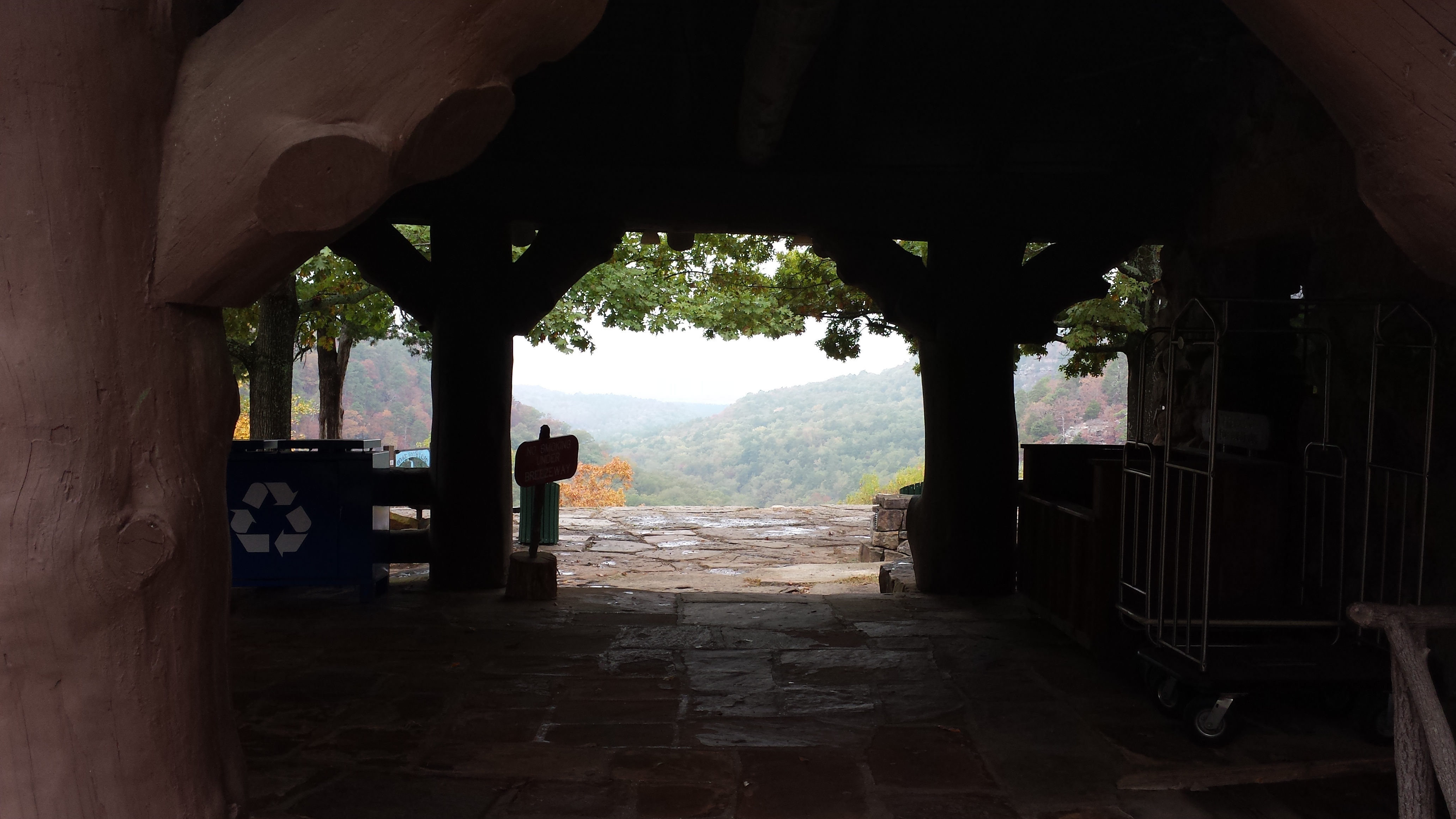
Like wow, and it’s barely fall here, trees still green, tent screens open and life is good!
Life on the Mississippi!
October 26th, 2015
![20151026_130812[1]](https://legalectric.org/f/2015/10/20151026_1308121.jpg)
Couldn’t be a better place to office on this beautiful fall day, but… ENOUGH WORK! LATER!
St. Louis area landfill burning near nuclear waste
October 23rd, 2015
This has been in the news a lot lately due to the Missouri Attorney General’s release of reports that are part of a lawsuit against the owners of the landfill, Republic Services, which, the AG states has “poisoned its neighbors’ groundwater and vegetation.” Great… just great… What I get out of this is that the fire’s movement towards the nuclear waste is a concern, but there are already significant problems in the here and now to deal with.
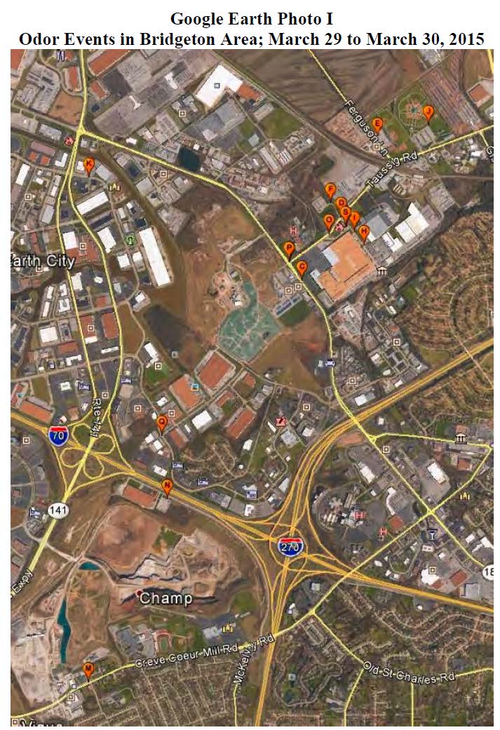
Site Q on the map above is right by the Candlewood Inn hotel that I stay at during BaronFest, held at the home of a friend in Maryland Heights just south of the bottom center of this map. Here’s Kady, settled into the hotel:

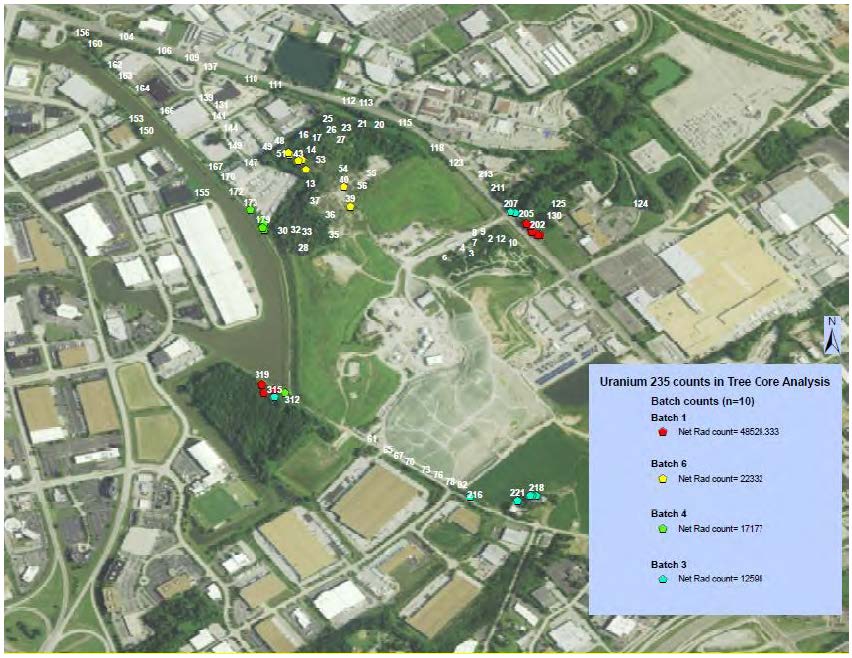
The reports released are pretty disturbing. Here are some maps from the Westlake Landfill Tree Core Analysis – Burken/Usman showing elevated U-235 in tree core samples:
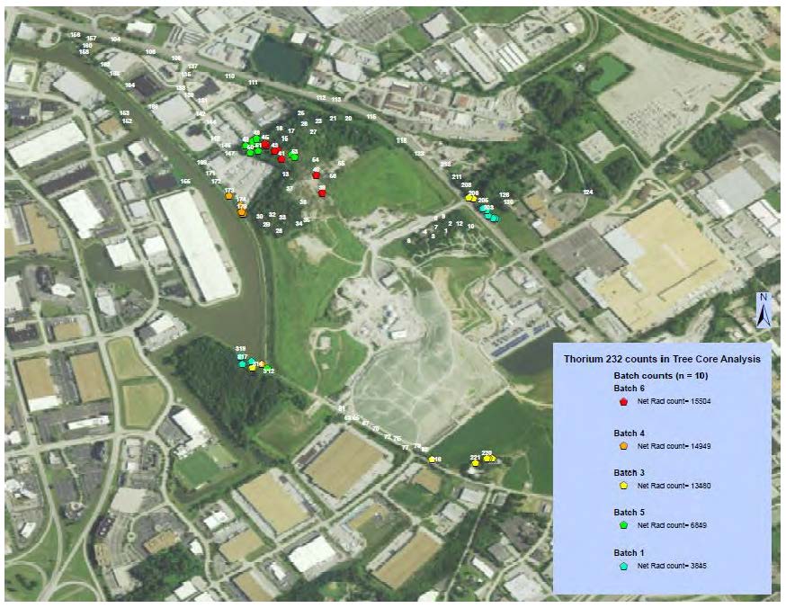
And here’s a similar map for Thorium, but note this concentration is to the north:
And from the same report, check out these carcinogens in the core samples:
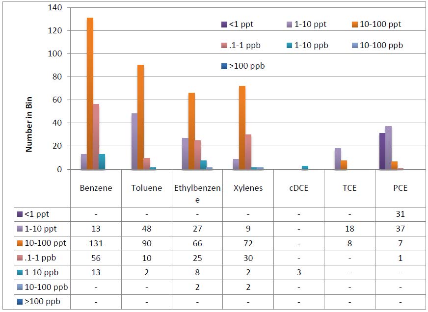
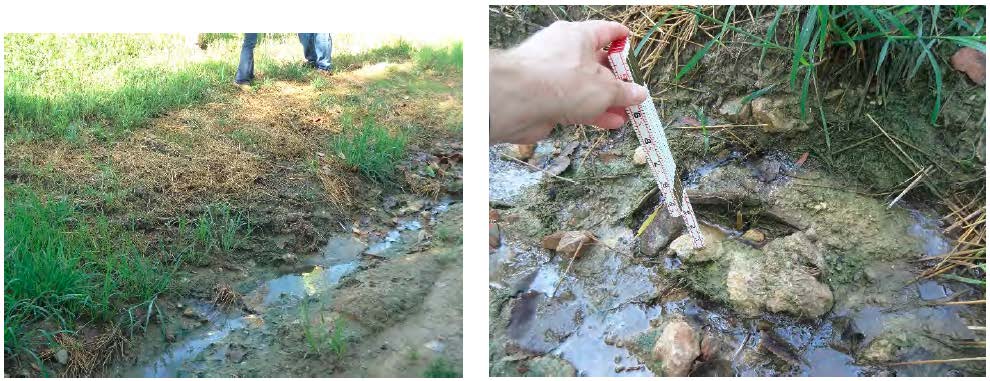
And from the Field Inspection Reports – Stark, visible leachate outbreak — it’s clearly not contained:
The primary documents from the Missouri Attorney General’s site:
- West Lake Landfill Organic Pollutant Phytoforensic Assessment – Burken
- Westlake Landfill Phytoforensic Assessment using Gamma Spectroscopy – Usman
- Westlake Landfill Tree Core Analysis – Burken/Usman
- Bridgeton Sanitary Landfill Groundwater Investigation – Price/Wronkiewicz
- Subsurface Self Sustaining Reaction Incident – Sperling/Abedini
- Bridgeton Sanitary Landfill Incident – Thalhamer
- Field Inspection Reports – Stark
- Bridgeton Landfill Downwind Odor Assessment – Wright
- Feasibility Study – Groundwater Remediation – Hemmen
Menahga Xmsn in the Park Rapids Enterprise
October 21st, 2015
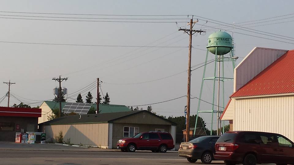
Monday’s hearing in Menahga got a thorough report in the Park Rapids Enterprise. Now, will the Administrative Law Judge and the Public Utilities Commission pay as much attention?
And a little correction, “Pipeline” should be “Powerline” in the 3rd paragraph. As newspaper articles go, this is as good as it gets! Lots of detail. And the need part, the “Carol Overland question” is there in black and white.
To see the full Public Utilities Commission dockets, go to the PUC’s SEARCH DOCKET PAGE HERE, and search for dockets 14-787 (Certificate of Need) and 14-797 (Route Permit).
And in the Park Rapids Enterprise:
Hearing held in Menahga to discuss proposed transmission lines
- An east-west section between the existing GRE Hubbard Substation and the proposed MP Straight River Substation. Four and a half miles would be double circuit 115 kV lines and 2.5 miles would be single circuit lines.
- A north-south section of single-circuit lines, around 15.5 miles, would run between the proposed MP Straight River Substation and the proposed Red Eye distribution substation.
- A proposed new MP Straight River Substation, GRE Blueberry Substation and Todd-Wadena Red Eye Substation; relocation of Todd-Wadena’s existing Menahga distribution substation to the Blueberry site and converting the voltage from 34,5 kV to 115 kV. There would also be modifications to the existing MP Pipeline Substation and GRE Hubbard Substations.