Clear-cutting in Red Wing!
December 29th, 2023
Taking Alan to and from Mayo, I’ve been seeing activity on the east and south side of Featherstone, essentially all the land from “Ryan & Gordy’s Glass” on the right, following Featherstone, and down to the bottom of this screenshot, along the bottom to the trees with lots there, Creekview Court, up along the row of houses along the Hillside Drive cul de sac, over “to the point of beginning:
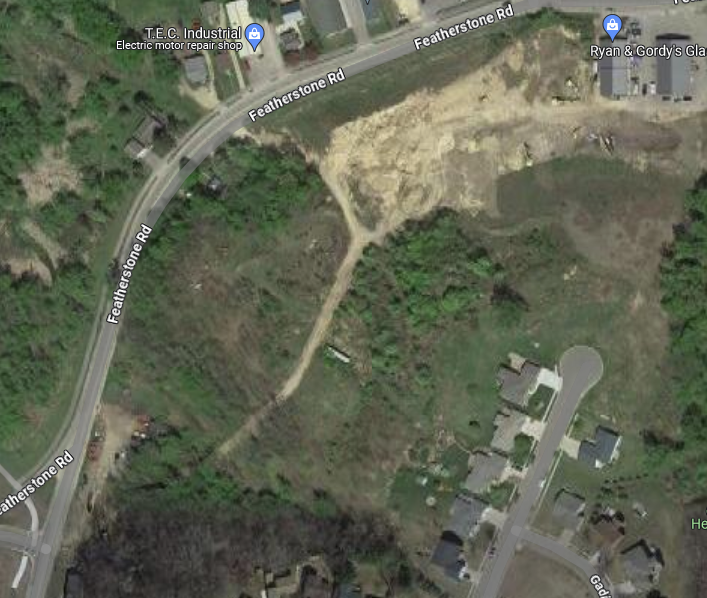
And closer view — the guy who owns that land, it’s a permitted sand pit, where there’s not been ongoing sand mining for ages. The platted cul de sac is named after him, and he owns 3 or 4 lots in there, along Hillside Drive, particularly on the left hand side and the far end. And on the County GIS, you can see he’s using two of those lots to access the hill below — and note, he did NOT cut his big tree down, going around it, and it’s the only one left standing!
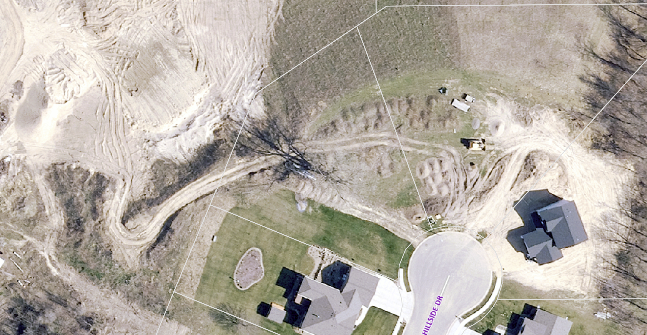
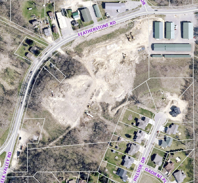
And a larger view, you can see the lot lines, the bottom parcel and the one to the left along Featherstone are lots that were mowed without permission, and note the Creekview residential lot lines on the very bottom, and lot lines going up the Hillside Drive cul de sac — it’s bare earth now to the north and west behind those lots! I’ll bet those homeowners are not pleased!
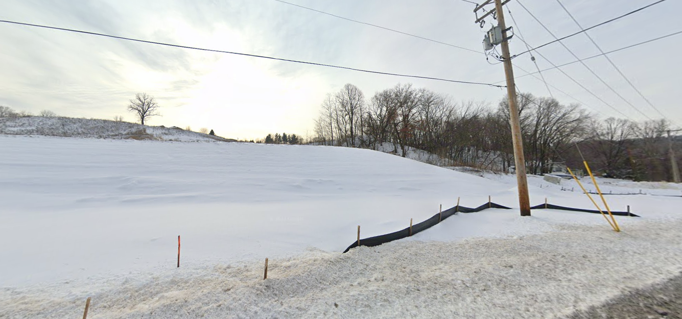
This area here, where Featherstone heads west, looking east, was this:
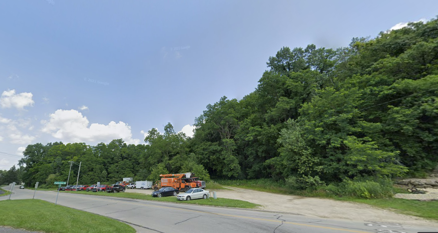
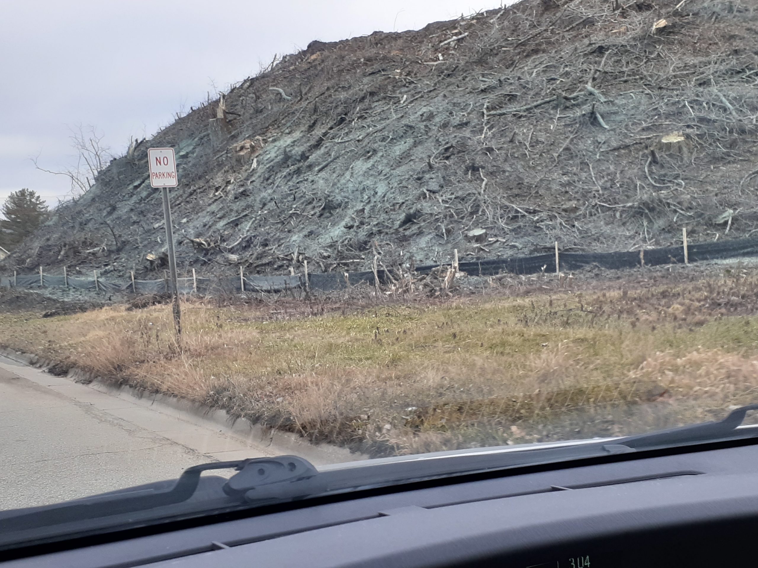
Now, it’s TOTALLY NUDE! This photo was taken in that little “driveway” parking area, facing the same way:
Looking straight on from Featherstone:

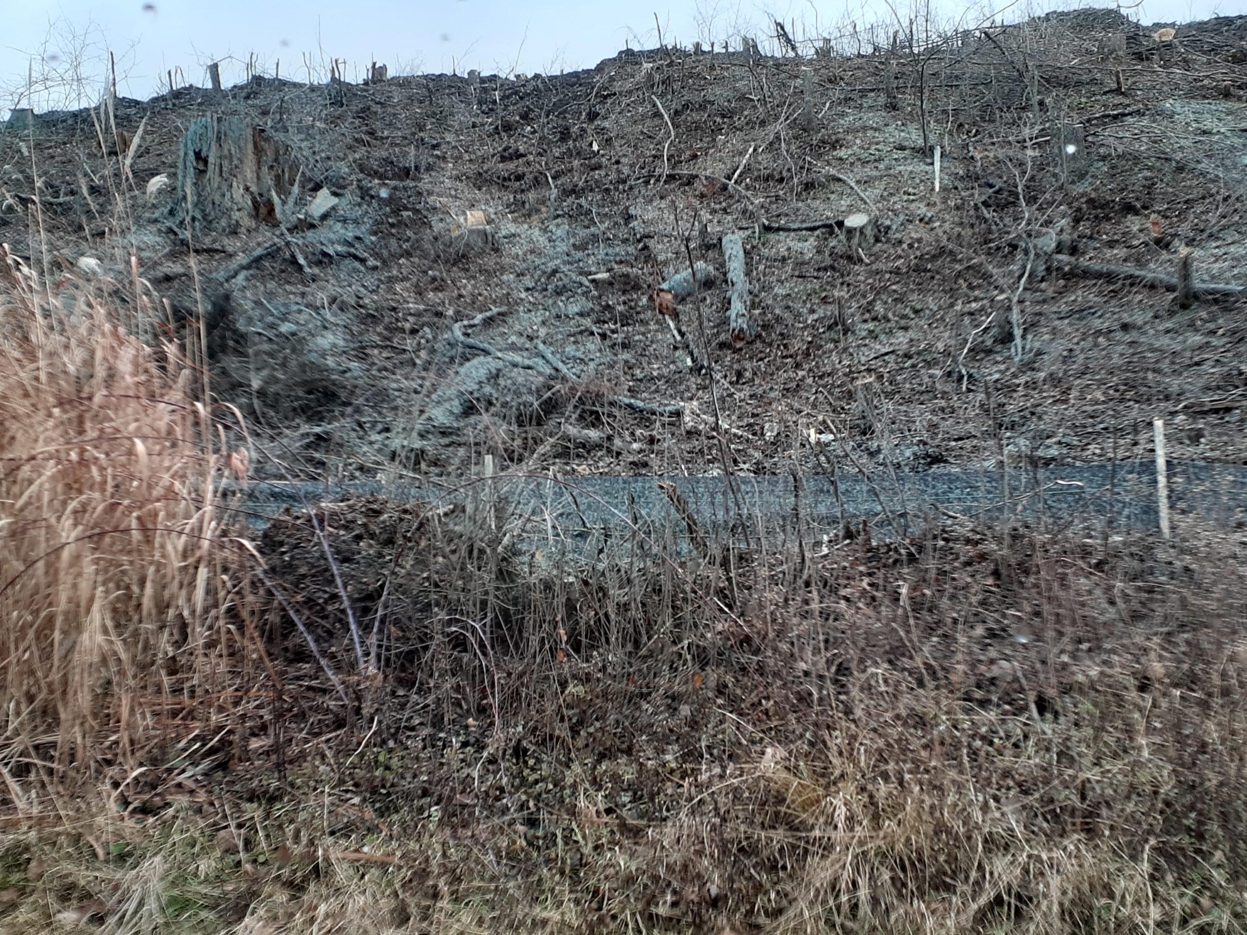
And all that brush and stuff you can see is down to bare earth:

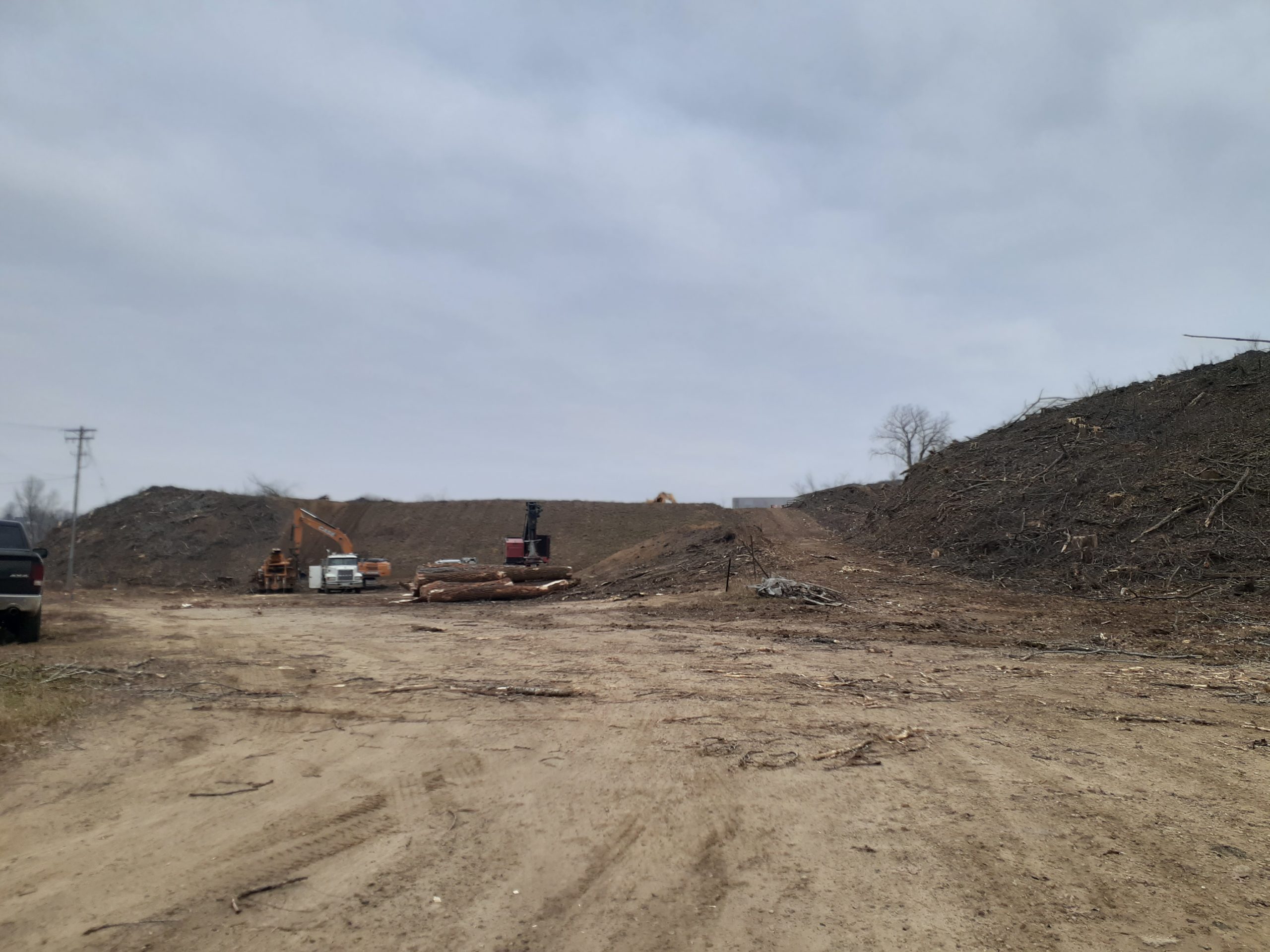
Except where there were big trees yanked out, where there are 2-3 foot stumps that are 2-3 feet across — OLD trees were removed. Where the bulldozer is is bare ground, that’s what caught my attention, thinking of erosion, and the shame of clear-cutting. Anyway, here’s what it looks like, close up (I’ve not captured the big stumps, will get that later today):
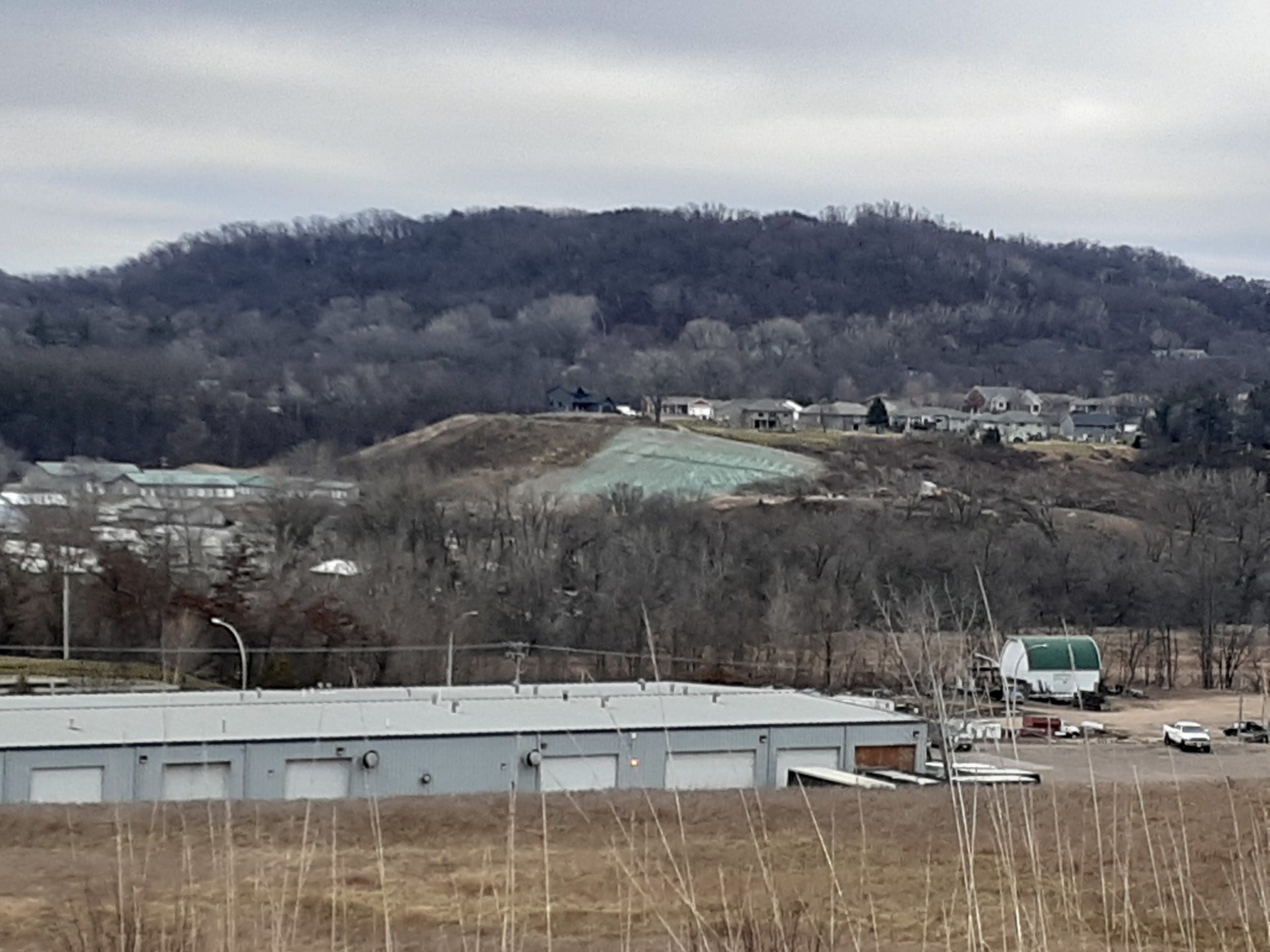
Here’s what it looks like from the Mayo back parking lot:
Turns out the plot thickens going beyond those two landowners, the “mower” and “mowee.” See that row of homes up there straight ahead and to the right? Hillside Drive and Creekview Court? They’ve been directing their storm water down there, which wasn’t cool, but wasn’t as much of a problem, but now??? E-R-O-S-I-O-N, and they’re going to have to do something different. Rain barrels, channel into pond, whatever, just not run it down the hill.
Looks to me like the City needs to get on the “mower” about it, and the owner of the land who did NOT give permission for all that destruction on his land should get a tree appraiser and a land appraiser, and calculate the damages, figure out what it would take to restore to original condition, and how, with 20-30 years for growth, to address that. This will be very hard to “fix.” I’m having a hard time wrapping my head around it, how someone could just go and do this, not only to his own land, but to another’s land.